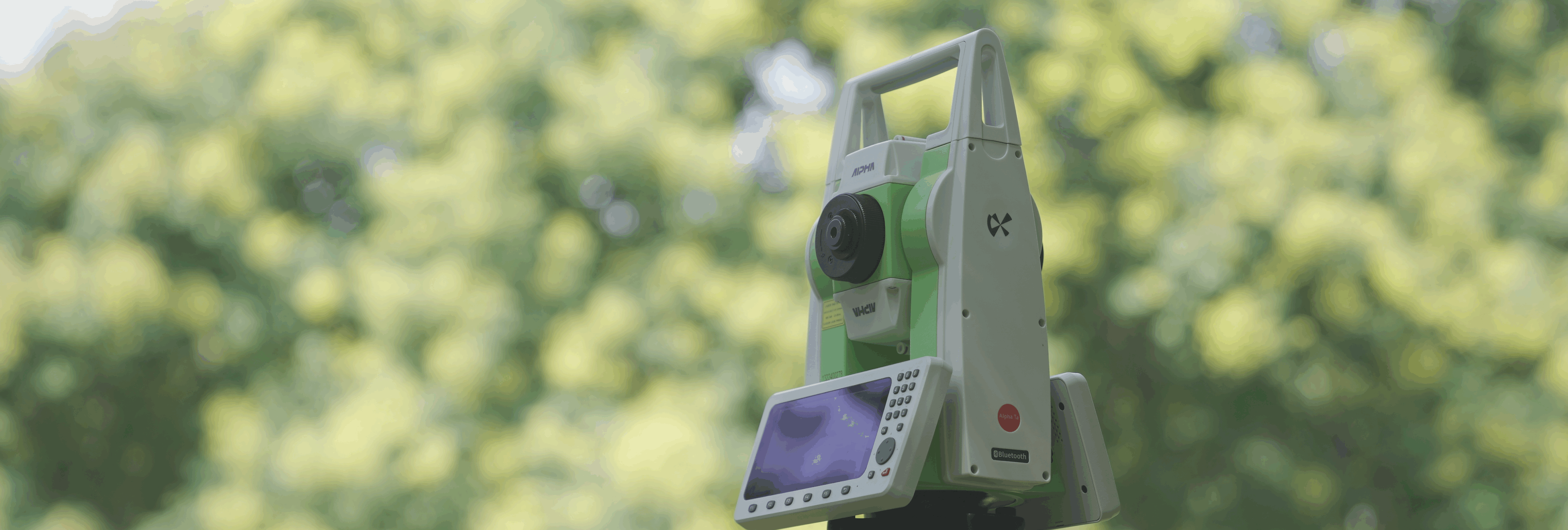
Traverse
Control surveying field data collection made simple — an innovative tool for building accurate coordinate systems.
Traverse & Control Survey
Control surveying is the cornerstone of an accurate coordinate system. Traditional data collection is often time-consuming, labor-intensive and error-prone. The Control Network, as an innovative tool for control surveying field data collection, is fundamentally changing how work is done in this field.
Application Scenarios
Intelligent Data Collection, Say Goodbye to Manual Recording
The most notable advantage of Control Network lies in its intelligent data collection feature:
Wide Compatibility: Compatible with most total stations on the market, enabling seamless data integration.
Automatic Recording: Directly captures and records angle and distance information from the instrument, eliminating the tedious manual recording steps.
Multi-Observation Support: Easily handles multiple observation rounds, automatically organizing and storing data from each round.
Automatic Recording: Directly captures and records angle and distance information from the instrument, eliminating the tedious manual recording steps.
Multi-Observation Support: Easily handles multiple observation rounds, automatically organizing and storing data from each round.
This intelligent collection method not only greatly improves work efficiency but also significantly reduces human errors, allowing surveyors to focus more on controlling the quality of measurements.
Real-Time Tolerance Check, Ensuring Measurement Accuracy
Control Network has built-in tolerance standards for triangulation and traverse surveys, providing strong assurance for measurement quality:
Automatic Detection: During observation, the software checks in real-time whether the measurement data meet tolerance requirements.
Immediate Alerts: When an out-of-tolerance situation is detected, the software immediately alerts the user.
Re-Measurement Option: Based on the alert, users can choose to re-measure, ensuring the final data is accurate.
Immediate Alerts: When an out-of-tolerance situation is detected, the software immediately alerts the user.
Re-Measurement Option: Based on the alert, users can choose to re-measure, ensuring the final data is accurate.
This real-time quality control mechanism greatly increases the reliability of fieldwork and reduces the possibility of rework.
Intelligent Guidance, Ensuring Measurement Workflow
Control Network is not just a data recording tool; it acts as an intelligent assistant for surveying tasks:
Automatic Guidance: Prompts users to perform direct and reverse observations, ensuring the correctness of the measurement process.
Process Optimization: With the software’s guidance, even less experienced surveyors can accurately complete complex measurement tasks.
Process Optimization: With the software’s guidance, even less experienced surveyors can accurately complete complex measurement tasks.
This intelligent guidance significantly reduces the risk of operational errors and enhances the overall quality of surveying work.
Flexible Data Output, Supporting Subsequent Processing
Control Network offers a variety of data output options to facilitate subsequent data processing and application:
Report Mode: Can directly generate standardized survey reports, meeting various documentation needs.
Data Export: Supports data export to the “ApeSurvey Adjustment” desktop software for seamless data adjustment processing.
Data Export: Supports data export to the “ApeSurvey Adjustment” desktop software for seamless data adjustment processing.
This flexible data management method simplifies the workflow from field surveying to office processing, reducing the risk of errors during data transmission and becoming the preferred working method for modern surveyors.
User Case
Urban Control Network Update
In a large urban control network update project, the survey team used Control Network for data collection. The software’s automatic recording function allowed the team to quickly and accurately complete a large number of station observations in a busy urban environment. The real-time tolerance check feature ensured the reliability of each station’s data. In the end, the project saved 30% of the time compared to traditional methods, and the measurement accuracy was significantly improved.