
ApeSurvey Adjustment
High-precision adjustment tools
Adjustment computation for triangulation and leveling networks, with coordinate system management and transformation — bringing field observations to final coordinates.
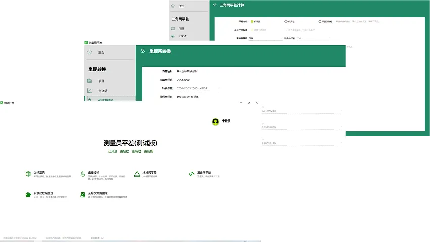
Adjustment computation
Triangulation and leveling network adjustment, with reports for the adjusted results and for the original observations.
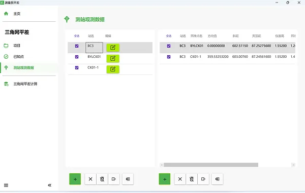
Triangulation Network Adjustment
The triangulation network adjustment feature allows for one-click import of raw observation data from the Control Network App for adjustment calculations. Users can also manually input control point coordinates, observed angles, distances, and other raw measurements for organization and management. The software automatically generates the triangulation network topology based on the observation data, and applies algorithms such as angle adjustment, side adjustment, and angle-side combined adjustment to generate and solve the equations for final coordinate results. It supports generating results maps after triangulation network adjustment, displaying the adjusted point coordinates, and can output adjustment reports and other documentation.
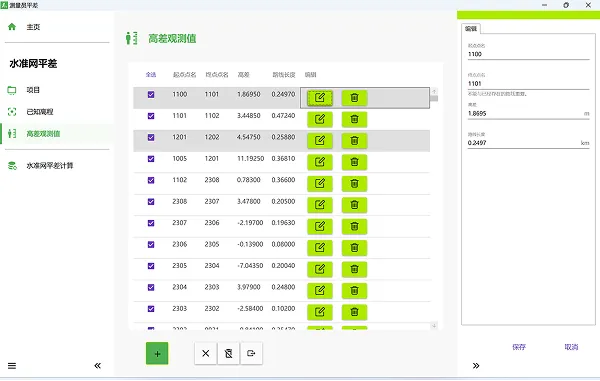
Leveling Network Adjustment
The leveling network adjustment feature enables the processing of leveling network measurement data and generation of leveling network results. Measurement data can be entered manually or imported in various batch formats. Raw observation data files from electronic leveling instruments can be processed using the leveling instrument data organization function before importing.
Coordinate systems & transformation
Set up and manage the coordinate systems a project uses, and convert results between them.
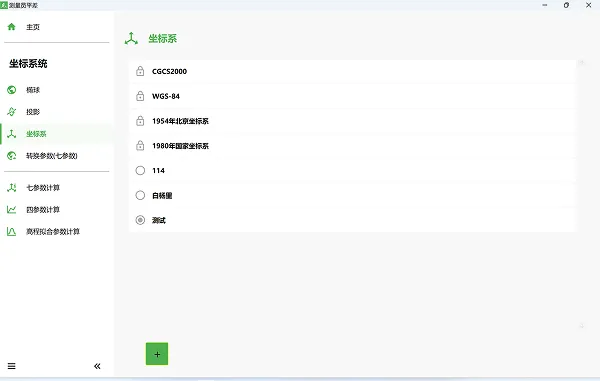
Coordinate System
Provide customization of ellipsoids and projections, as well as implement coordinate transformation parameter calculations and manage multiple coordinate systems, allowing users to create and utilize different coordinate systems based on their needs.
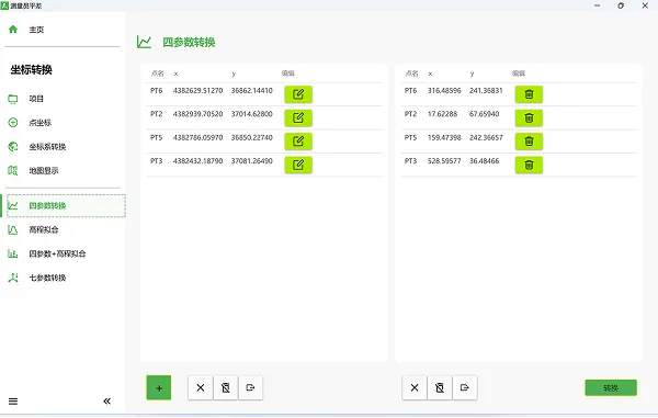
Coordinate Transformation
The coordinate transformation function supports conversions between geodetic coordinates, plane coordinates, and spatial Cartesian coordinates, and utilizes four-parameter and seven-parameter models to achieve single-point or batch transformations between different coordinate systems.
Specifications & support
- Adjustment modes
- Plane — plane coordinates only; Plane and elevation — both, accounting for atmospheric refraction, mean height anomaly and preliminary computation
- Data organization
- Preparation of raw total station and level instrument observations for adjustment.
- Data import
- Import observation data produced by other software, so it does not have to be entered twice.
- Report output
- Adjustment results — outputs the computed results; Original observations — outputs the raw observations for archiving and review
- Supported platform
- Windows 7 or later